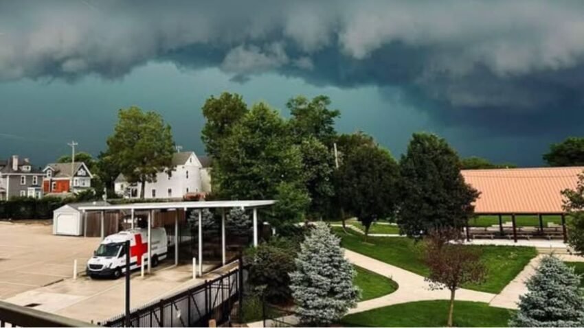
Chicago faced severe weather threats on August 21, 2026, with damaging winds, hail, flooding, and isolated tornado risks. Residents were urged to monitor alerts and follow safety precautions.
On Friday, August 21, 2026, Chicago and its surrounding suburbs faced a heightened risk of severe weather. Meteorologists warned of damaging winds, large hail, heavy rainfall, and the possibility of isolated tornadoes.
The National Weather Service and local storm teams issued alerts urging residents to remain prepared as multiple rounds of thunderstorms were forecast to move through the region.
The Storm Prediction Center (SPC) placed northern Illinois, including Chicago, under a slight to marginal risk for severe thunderstorms.
This classification highlighted the potential for dangerous weather conditions, even if tornadoes were not expected to be widespread.
Damaging winds reaching 70–80 mph and large hail capable of property damage were identified as the primary hazards.
While the tornado risk was not widespread, forecasters noted that an isolated tornado could develop in stronger storm cells.
The timing of these storms was expected to be from the afternoon into the evening, with systems forming northwest of Chicago and tracking southeast.
National Weather Service Chicago Forecast
The National Weather Service Chicago office emphasized the potential for scattered thunderstorms throughout the day.
Damaging winds and hail were highlighted as the main threats, capable of downing trees, damaging roofs, and disrupting power lines.
Forecasters also noted a low but notable risk of isolated tornadoes, stressing that even a single tornado could cause significant damage.
In addition to the tornado threat, dangerous swim conditions were forecast for Lake Michigan beaches over the weekend due to strong winds and waves.
This combination of hazards underscored the importance of monitoring alerts and staying prepared.
Local forecasters highlighted the possibility of two waves of storms impacting the metro area. The first wave was expected in the early afternoon, bringing heavy rain and gusty winds.
The second, stronger round of storms was forecast for the evening, particularly west of Interstate 57, with hail and tornado potential. Heavy rainfall raised concerns about localized flooding in low‑lying areas and viaducts.
This two‑phase storm system meant residents needed to stay alert throughout the day, not just during evening hours.
Safety Recommendations
Authorities urged residents to take precautions ahead of the storms. The most important step was to monitor alerts from the National Weather Service and local media.
Drivers were advised to avoid flooded roads, as even shallow water can disable vehicles. Homeowners were encouraged to secure outdoor items to prevent damage from high winds.
Finally, residents were reminded to stay indoors during thunderstorms, as lightning can strike miles away. Preparedness was key, as severe weather can escalate quickly and leave little time for reaction.
Looking beyond Friday’s storms, meteorologists predicted a temporary break in severe weather. On Saturday, a cold front was expected to trigger lake‑effect showers near Lake Michigan.
Sunday’s forecast called for pleasant weather, with sunshine and highs in the low‑to‑mid 70s. By early next week, another chance of showers and storms was anticipated by Tuesday.
This forecast suggested a brief period of recovery before the next system arrived.
The Chicago tornado threat on August 21, 2026, underscored the city’s vulnerability to late‑summer severe weather.
With damaging winds, hail, and isolated tornadoes possible, residents were reminded of the importance of preparedness and awareness.
By monitoring alerts and following safety guidelines, Chicagoans could reduce risks and protect their families during this volatile weather event.
The day’s storms served as a reminder that even when tornado risks are not widespread, the potential for severe damage remains real, and vigilance is essential.