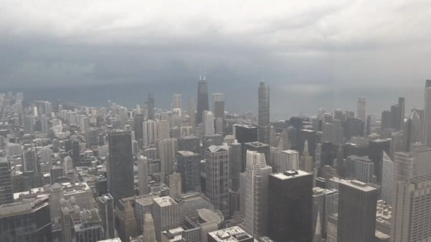
Chicago Severe Thunderstorm Watch August 9–10, 2026: Damaging winds over 60 mph, quarter‑size hail, heavy rain, and flooding possible across Cook, DuPage, Will, and surrounding counties until early Tuesday morning.
Chicago and its surrounding counties are under a Severe Thunderstorm Watch issued by the National Weather Service until 1:00 AM CDT on Tuesday, August 11, 2026.
The alert warns of damaging winds exceeding 60 miles per hour, quarter‑size hail, heavy rainfall, and localized flooding.
While the tornado risk is considered low, the confirmed touchdown in LaSalle County near Streator earlier this week highlights the volatility of current weather conditions.
Counties Affected
The watch covers a wide area across northern Illinois and northwest Indiana. In Illinois, counties include Cook, DuPage, Grundy, Kankakee, Will, Ford, Iroquois, and Livingston.
In Indiana, Lake, Porter, Jasper, Newton, and Benton counties are also under the alert. These regions are expected to experience the strongest impacts as storm cells move eastward through the night.
Severe Thunderstorm Warnings have already been issued for Kane, DuPage, Cook, Kendall, and Will counties, with radar confirming winds above 60 mph and hail.
The combination of saturated ground from recent rainfall and incoming storms raises the likelihood of flash flooding, particularly in the Chicago metro area where drainage systems can quickly become overwhelmed.
The storms are expected to peak during the evening and overnight hours, a period when visibility is reduced and residents may be less alert to changing conditions.
Hazards include damaging winds capable of downing trees and power lines, hail that can damage vehicles and property, and heavy rainfall that may lead to flash flooding.
The National Weather Service emphasizes that residents should treat the watch as a serious warning, not a routine advisory, given the potential for rapid escalation.
Residents are urged to stay indoors during peak storm activity, secure outdoor items that could be blown away, and avoid unnecessary travel.
Power outages are possible, so households should prepare by charging devices, keeping flashlights ready, and stocking emergency supplies.
Those in flood‑prone areas should monitor local alerts and prepare sandbags if necessary. Monitoring NOAA Weather Radio, local television stations, or trusted apps will provide real‑time updates as the situation evolves.